
Mount Fuji
The one mountain everyone can name, and the only thing tall enough to still be there when a cloud sea has swallowed the rest of the country.
AT A GLANCE
- Summit
- 3,776 m — the highest point in Japan
- Shape
- A near-perfect cone, isolated on all sides
- Best hours
- The first hour after sunrise, before the day's cloud builds
- Approach
- From the east over the Kanto plain, or from the north over the Fuji Five Lakes
Fuji is not the most interesting mountain in Japan to fly near. It is the most interesting mountain in Japan to fly toward, which is a different thing, and it is the reason nearly every long journey ends up bending in its direction at some point.
It stands alone. There is no range to lose it in and nothing nearby of similar height, so from a hundred kilometres out on a clear morning it is already the only thing on the horizon that is not haze. You do not navigate to Fuji so much as fail to lose sight of it.
What the wind does here
The plains east and north of Fuji are open, which usually means a wide choice of directions: several distinct layers, each going somewhere different. That is the good news. The bad news is that a 3,776 m cone sitting in the middle of them disturbs the air for a long way downwind, and the wind close to the mountain is rarely the wind the forecast drew a hundred kilometres back.
The practical answer is the balloonist’s answer everywhere: get up early, and climb. The hours right after sunrise are the calmest and the clearest of the day, and altitude is where the honest, undisturbed wind lives.
When low cloud fills the basins, everything below a certain height simply stops existing — and Fuji is one of the very few things left above it. It is the best possible weather for this particular mountain and the worst possible weather for knowing where you are.
What you actually see
Two things, mostly. Coming from the east at low level, Fuji builds slowly out of the haze over an hour or more, gaining detail the way a real approach does — first an outline, then the snow line, then the ash-grey of the upper cone.
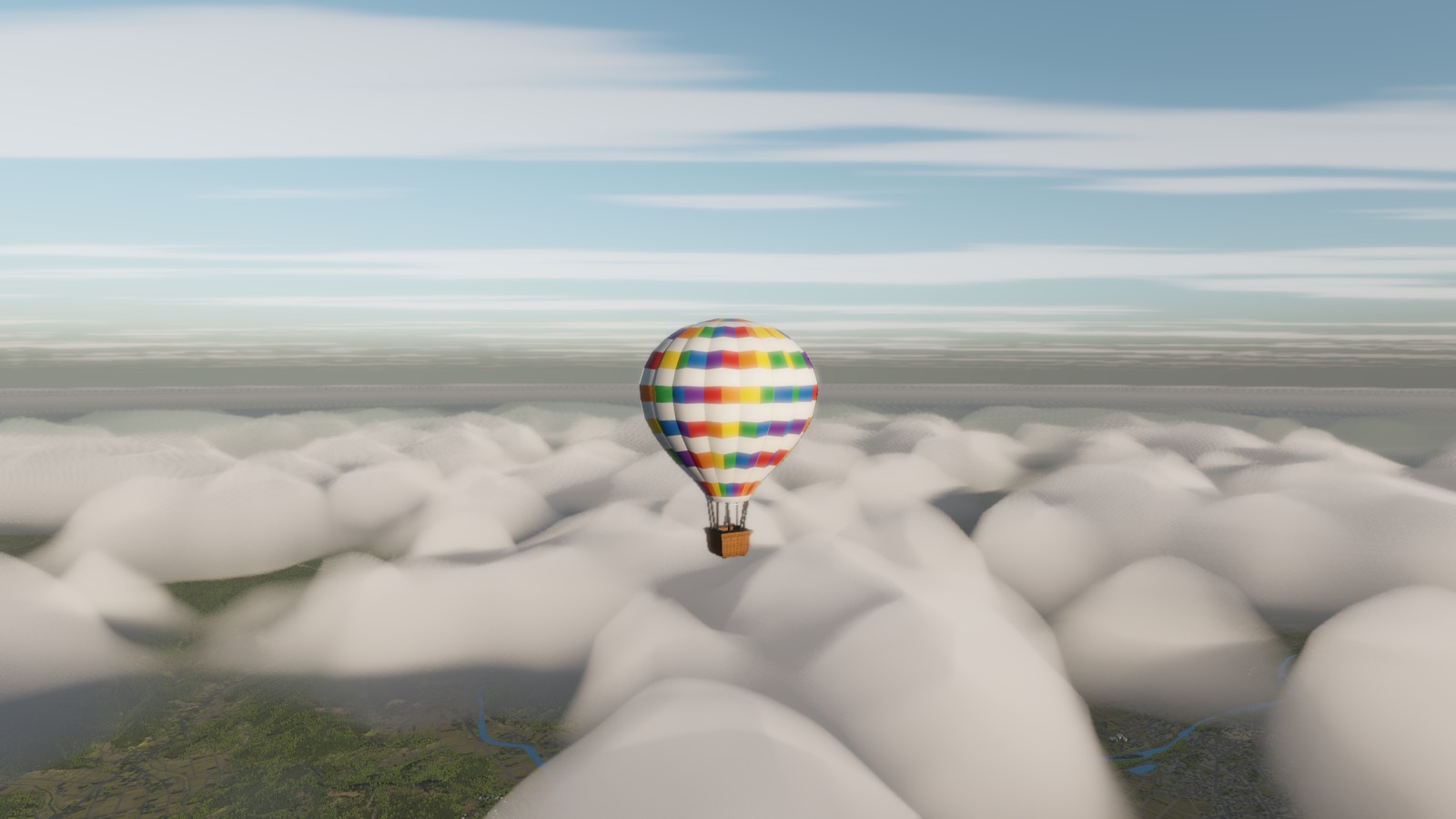
Coming from above the cloud, it is instantaneous: you climb through the top of a layer and it is simply there, with a hundred kilometres of white between you and its base, and nothing else in the world.
Screenshots are from a build in progress and are not necessarily taken at the place described.
Terrain is built from elevation data published by the Geospatial Information Authority of Japan (GSI).