
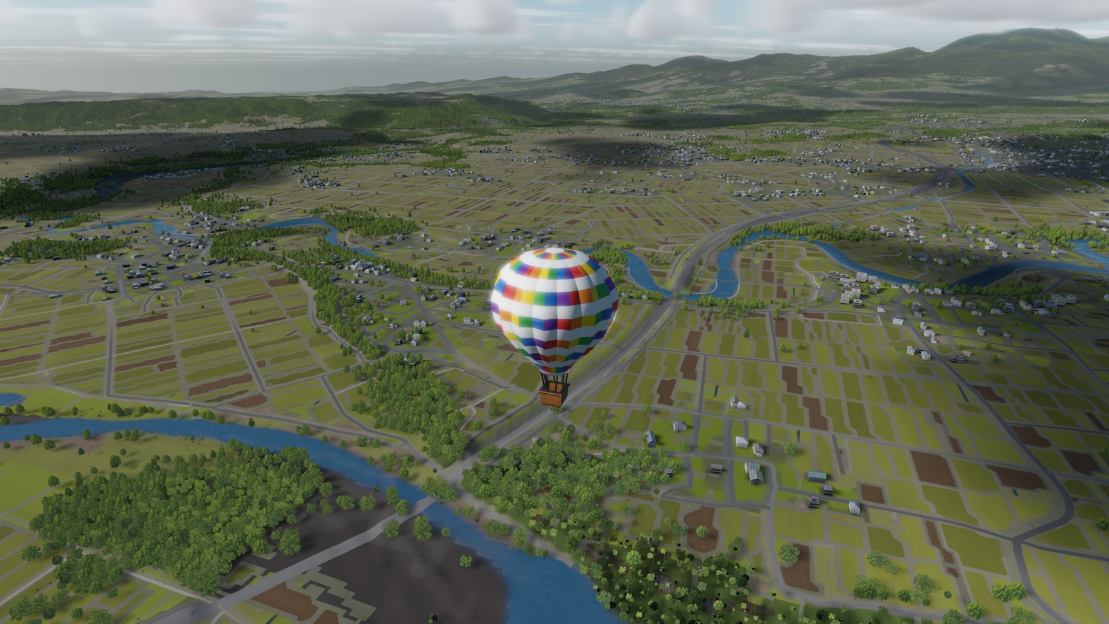
The Iburi Plain, Hokkaido
Fields, rivers and scattered towns laid out with a straightness the rest of Japan does not have — the first place the game's terrain pipeline was pointed at.
AT A GLANCE
- Setting
- Coastal plain and low hills between Tomakomai and the Hidaka range
- Character
- Large rectangular fields, meandering rivers, small towns far apart
- Best season
- Late summer, when every field is a different colour
- Note
- This is the area the terrain and vegetation pipeline was built and tested on
Most of Japan is a country of very small pieces. Hokkaido is the exception. It was settled late and laid out deliberately, so the fields here are large and rectangular, the roads are straight, and the towns are separated by real distance rather than by a gap of two hundred metres.
From a balloon at three hundred metres that difference is the whole character of the place. Elsewhere you drift over a mosaic. Here you drift over a plan.
What is under you
Rice on the flat ground near the rivers, other crops on the terraces above, and forest on anything too steep to work — which in Iburi means the low hills running inland toward the Hidaka mountains. The rivers wander, because there is enough room here that nobody needed to straighten them.
Between them: farm buildings in ones and twos, a road that goes exactly where it means to, and after dark a scattering of lights so sparse you can count them.
Every part of the map is built the same way, from the same national elevation and land-use data. This is simply the area the pipeline was pointed at first, which makes it the part that has been looked at hardest.
Flying it
Open ground with no ridge to funnel the air is the friendliest kind of country for a balloon. Layers are clean, the choice of directions is usually wide, and there is somewhere to put down almost anywhere.
It is also the sort of place where you can simply let it happen. Set a height in the morning, look at the fields for a few hours, and find out at dusk that you have crossed thirty kilometres of Hokkaido without ever touching the burner in anger.
Screenshots are from a build in progress and are not necessarily taken at the place described.
Terrain is built from elevation data published by the Geospatial Information Authority of Japan (GSI).